
Record Flooding Swamps Georgia–Tennessee Border Towns as Toccoa River Tops Its 1990 High
Heavy rain overnight turned a quiet stretch of the Georgia–Tennessee border into a rescue zone on Thursday, 5 November 2026. The Toccoa River rose to a record high, water poured through two small mountain towns, and emergency crews pulled dozens of people from homes and cars. No deaths or injuries had been confirmed by Thursday afternoon, but officials said the damage was serious and the clean-up had only just begun.
The flooding hit McCaysville, Georgia, and its twin town across the state line, Copperhill, Tennessee. The two towns sit side by side in the southern Appalachian mountains, joined by the same river — called the Toccoa in Georgia and the Ocoee once it crosses into Tennessee.
What happened overnight
Thunderstorms moved through the mountains late on Wednesday night and into the early hours of Thursday, dropping 3 to 5 inches (8 to 13 centimetres) of rain on steep, narrow valleys, according to the Associated Press. Some gauges recorded up to 6 inches (150 millimetres) in just six hours, and Fox Weather reported that 5 to 8 inches fell across much of the region in about 12 hours. CNN described the rainfall as at least a one-in-200-year event.
Rain that heavy, falling that fast on mountain slopes, has nowhere to go but down — and it all drains into the same river. The Toccoa River, which flows between McCaysville and Copperhill, rose with frightening speed.
The National Weather Service declared a flash flood emergency for the area, a rare warning it reserves for situations where severe danger to life and catastrophic damage are happening or about to happen. At 6:23 a.m. local time, its Morristown, Tennessee, office warned that “widespread catastrophic flash flooding is ongoing with numerous businesses and homes under several feet of water” in Copperhill.
By Thursday morning the river had passed its all-time record. The gauge at Copperhill showed the Toccoa/Ocoee River cresting at just over 18 feet (about 5.5 metres), according to the National Weather Service. That beat the previous record of about 17.8 feet, set on 16 February 1990. The river stood about 2 feet above the level at which forecasters warn of a catastrophic flood that tops bridges, cuts towns off, and forces mass evacuations.
Water over the rooftops
In McCaysville, the water rose fast and deep. Police Chief Michael Earley told Fox 5 Atlanta that water was over the rooftops in several areas and stood 6 to 7 feet deep in the downtown business district. Some buildings were submerged to their rooflines.
“More than 30 rescues were conducted overnight,” Earley said. Later updates put the number higher: Fox Weather reported that at least 45 people had been rescued in McCaysville alone. Robert Poole, a spokesperson for the Fannin County Emergency Management Agency on the Georgia side, separately estimated about 20 people had been rescued. The estimates were preliminary, and it was unclear how much they overlapped.
Rescue crews used boats and motorised rafts to move through flooded streets, and crews from Georgia, Tennessee and North Carolina all responded. The Tennessee National Guard joined in, carrying out aerial rescues with helicopters from its 1-230th Assault Helicopter Battalion at the request of the Tennessee Emergency Management Agency.
Despite the scale of the flooding, no deaths or injuries had been confirmed by Thursday afternoon. That is the first question everyone asks after a flood like this, and for now the answer is a hopeful one. Officials stressed that the numbers were still early and that assessments were continuing.
A state of emergency on both sides of the line
The response crossed the state line, just as the river does. Georgia Governor Brian Kemp said a multi-agency and multi-state response was under way. In Tennessee, the Tennessee Emergency Management Agency activated the State Emergency Operations Center to Level 4, one of its highest readiness levels, and opened emergency shelters for people forced from their homes.
McCaysville officials declared a state of emergency and closed the city to unauthorised personnel until further notice. In Copperhill, both bridges were closed, along with Grassy Creek Road at Rogers Creek Bridge. Schools were shut across the area — Polk County Schools in Tennessee, and schools in Georgia’s Fannin and Gilmer counties — because of flooding and dangerous road conditions.
Flooding and mudslides also hit other parts of Fannin and Gilmer counties overnight, leaving some residents stranded in areas emergency crews could not reach at first. Water had begun receding by late Thursday morning, Poole told the Associated Press, and calls for rescue had slowed. But officials in Tennessee warned that flooding was expected to continue through the evening in places, and urged people to avoid flooded roads and follow official guidance.
The river behind the flood
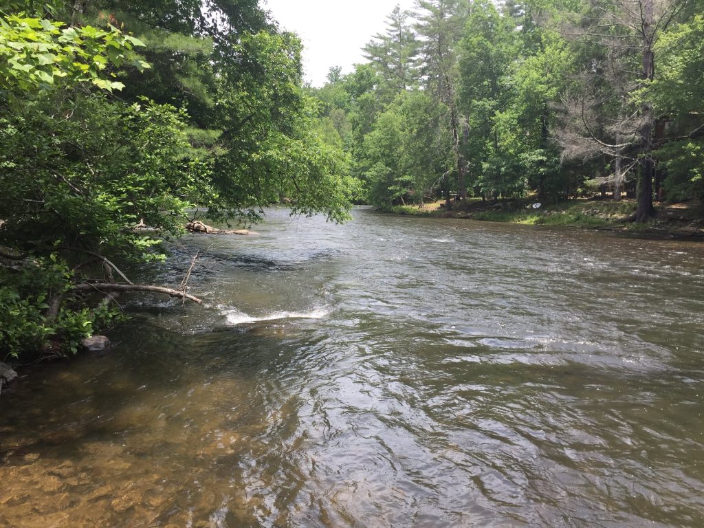
To understand why this flood was so bad, it helps to know the river. The Toccoa rises in the mountains of north Georgia and flows north through Fannin County, past the town of Blue Ridge, then through McCaysville. At the state line it becomes the Ocoee River, famous for whitewater rafting, and continues through the Ocoee Gorge in Tennessee.
The river runs between two dams — Blue Ridge Dam upstream and Ocoee No. 3 Dam downstream — which shapes how water moves through the valley. In normal times it is a scenic, gentle river that draws tourists, anglers and rafters. In a storm like this one, the same narrow valley that makes it beautiful becomes a funnel. Rain falling across a wide area of steep mountainside drains quickly into one channel, and the river can rise several feet in a matter of hours.
The old record it broke had stood for more than 36 years. On 16 February 1990, the river crested at about 17.8 feet. Thursday’s crest of just over 18 feet passed that mark — not by much in raw numbers, but enough to push water into homes and businesses that had stayed dry in every flood since.
This storm was part of a much larger weather system that had been crossing the United States since the weekend, bringing rain first to the west and centre of the country and then to the East Coast. By Thursday morning it had moved on, and forecasters said the rain had ended in north Georgia, with no more heavy downpours expected through the weekend. That gave rescue and clean-up crews a window to work.
What is a flash flood emergency?
Most people have heard a flash flood warning. A flash flood emergency is a step above that — and it is rare.
The National Weather Service issues a flash flood warning when flooding is happening or about to happen. It upgrades that to a flash flood emergency only when the situation is extreme: when water is already causing severe damage, when lives are in immediate danger, or when a dam or levee failure threatens a community. The warning tells people in the area to move to higher ground immediately, not to wait and see.
That is what happened in McCaysville and Copperhill in the early hours of Thursday. The emergency was first declared for Fannin County, Georgia, and then extended by the Morristown office for Copperhill. It stayed in place until 9 a.m. local time.
The distinction matters because flash floods kill more people in the United States than any other weather hazard except heat. Most of those deaths happen in cars: just 6 inches of fast-moving water can knock an adult off their feet, and 12 inches can carry away a small car. That is why every flood warning carries the same advice — turn around, don’t drown.
What happens next
With the rain over and the river falling, the focus now shifts from rescue to recovery. Damage assessments were still under way on Thursday, and officials had not yet put a figure on how many homes and businesses were damaged or what the clean-up will cost.
Roads and bridges will need to be inspected before they reopen. The two closed bridges in Copperhill are a particular concern, because they are the links that keep the town connected. Schools will decide when it is safe for children to return. And residents who were rescued from their homes will need somewhere to stay while the water damage is assessed — which is why the emergency shelters matter.
For the two towns, the clean-up will take weeks at least. Floodwater leaves behind mud, damaged floors and walls, ruined belongings, and in some cases weakened foundations. Small businesses in McCaysville’s downtown, which sat under 6 to 7 feet of water, face the hardest road back.
There is also a wider question for the region. A one-in-200-year rainfall is, by definition, rare — but the towns along the Toccoa and Ocoee have now seen their river break a 36-year-old record. Engineers and planners will want to know whether the old flood maps still describe the risk these communities face, and whether bridges, roads and homes are built for the river as it is now, not as it was in 1990.
How to stay safe in a flash flood
Flooding is one of the most common natural disasters in the world, and the safety rules are the same wherever you live:
- Never drive through floodwater. It takes very little water to float a car, and you cannot tell how deep the water is or whether the road underneath has been washed away.
- Move to higher ground fast. Flash floods can arrive in minutes. If you are told to evacuate, go at once — do not wait to gather belongings.
- Avoid walking through floodwater. Just 6 inches of moving water can knock you down, and floodwater can hide debris, open drains and live electrical wires.
- Stay away from riverbanks and low bridges during heavy rain, and never camp or park in a dry riverbed.
- Keep a charged phone and a torch within reach during severe weather, and follow the instructions of local emergency services.
Frequently asked questions
Where did the flooding happen?
In McCaysville, Georgia, and Copperhill, Tennessee — twin towns on the Georgia–Tennessee border, about 100 miles north of Atlanta. The Toccoa River, which becomes the Ocoee River in Tennessee, runs between them.
How high did the river get?
Just over 18 feet (about 5.5 metres) at the Copperhill gauge on Thursday morning, 5 November 2026. That beat the previous record of about 17.8 feet, set on 16 February 1990.
Was anyone killed?
No deaths or injuries had been confirmed by Thursday afternoon, according to local emergency officials and the Associated Press. Rescue numbers were still being counted.
How many people were rescued?
More than 30 people were rescued overnight in McCaysville, according to the town’s police chief, and later reports put the number at 45 or more. Crews from Georgia, Tennessee and North Carolina took part, along with the Tennessee National Guard.
Is the flooding over?
The rain had ended in north Georgia by Thursday, and forecasters said no more heavy downpours were expected through the weekend. But water was still high in places on Thursday, and some roads and bridges stayed closed while they were checked.
What caused the flood?
A slow-moving storm system dropped 3 to 8 inches of rain in about 12 hours on steep mountain ground. The rain drained quickly into the Toccoa River, which rose to a record level and overflowed into the two towns.
Conclusion
The flood on the Georgia–Tennessee border was a reminder of how quickly a familiar river can turn dangerous. In a single night, the Toccoa rose past a record that had stood since 1990, put a downtown under 6 to 7 feet of water, and forced dozens of people to be pulled from their homes by boat and helicopter.
The good news, so far, is that no one is reported to have died. The hard part comes next: assessing the damage, reopening roads and bridges, and helping two small towns rebuild. For the people of McCaysville and Copperhill, Thursday was the worst flood in living memory — and the recovery will take far longer than the storm did.
Sources
- Associated Press, “Heavy rains cause flash flooding, water rescues on Georgia-Tennessee border” (via KCAU), 5 November 2026: https://www.kcau9.com/news/national/ap-heavy-rains-cause-flash-flooding-in-north-georgia-forcing-water-rescues-and-evacuations/
- Fox Weather, “Flash Flood Emergency along Georgia-Tennessee border as river rises to record level”, 5 November 2026: https://www.foxweather.com/weather-news/water-rescues-flash-flood-emergency-georgia-tennessee-border-river-record.amp
- Weatherboy, “Record River Crest Swamps McCaysville and Copperhill as Flash Flood Emergency Hits Georgia-Tennessee Line”, 5 November 2026: https://weatherboy.com/record-river-crest-swamps-mccaysville-and-copperhill-as-flash-flood-emergency-hits-georgia-tennessee-line/
- Orbis Weather, “North America Weather & Natural Hazards Today – November 5”, 5 November 2026: https://www.orbisweather.com/north-america-weather-natural-hazards-today-november-5-2026/
- WBKO / Gray Television, “State activates Level 4 emergency operations as aerial rescues underway due to flash flooding in southeast Tennessee”, 5 November 2026: https://gray-wbko-prod.gtv-cdn.com/2026/11/05/aerial-rescues-underway-due-flash-flooding-southeast-tennessee-heres-what-we-know/
This article is for general information and education only. It is not legal or financial advice.
