
Scientists identify a new kind of landslide as thawing permafrost collapses in Canada’s far north
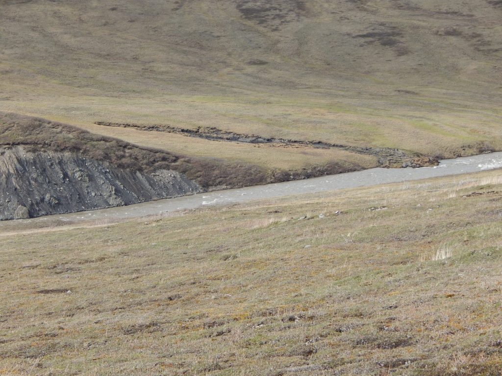
Scientists have identified a new kind of landslide in Canada’s Northwest Territories, where whole slabs of frozen ground have broken loose and slid downhill, damming rivers and creating new lakes. Researchers call them “permafrost detachment slides”, and a report on the discovery was published on 30 October.
The study, in Geophysical Research Letters, describes two slides: one in the Johnson River valley in 2017, moving about 18 million cubic metres of soil, rock and ice, leaving a scar nearly 3.2 kilometres long; the other in the Redstone River valley in August 2018, moving about 4.5 million cubic metres, with a scar about 1.2 kilometres long and 350 metres wide.
Both slides began decades earlier, with a 1995 wildfire that burned away the vegetation shading the permafrost. It took about 20 years for that warming to reach the base of the frozen layer, where water seeping through cracks thawed it from below. The ground crept downhill slowly at first, then accelerated, before collapsing in a matter of hours or days. Chunks of frozen material up to 650 feet long were found in the debris, showing the failure started underground rather than at the surface.
No roads, homes or infrastructure were damaged, because the area is remote. The researchers say the slides may be unprecedented in the region over the past 10,000 years or more, although that rests on the absence of similar features in the landscape, not a dated record.
Why it matters
Most permafrost landslides thaw from the top down and move slowly. These slides failed from below and released far larger volumes of debris in a single event, and the researchers say the same process could affect other thinly frozen, fire-scarred slopes in Canada and Alaska. As permafrost thaws, microbes break down the material inside it and release greenhouse gas, adding to concern about a warming feedback loop. Lead author Joseph Young, who did the research while at the University of Alberta, called the slides “a very dramatic manifestation of the changing climate”.
What happens next
Scientists plan to map other burned slopes with thin permafrost, about 20 to 40 metres deep, across the north and track how quickly they move. The cracking and movement over roughly 20 years before these slides failed gives land managers a window to monitor slopes above rivers, roads and pipelines. How much carbon these slides release is still unknown.
Sources
- https://grist.org/science/strange-catastrophic-landslides-are-kicking-off-across-the-far-north/ (Grist, 30 October 2026)
- https://news.agu.org/10-15-2026-huge-slabs-of-permafrost-careen-down-hillsides-in-a-new-type-of-landslide (American Geophysical Union, 15 October 2026)
- https://www.natureworldnews.com/articles/73689/20261029/permafrost-slides-that-dammed-two-canadian-rivers-offer-warning-arctic-communities-canada-alaska.htm (Nature World News, 29 October 2026)
This article is for general information and education only. It is not legal or financial advice.
